- Domů

- Tisk na plátno
- Nicolas de Fer
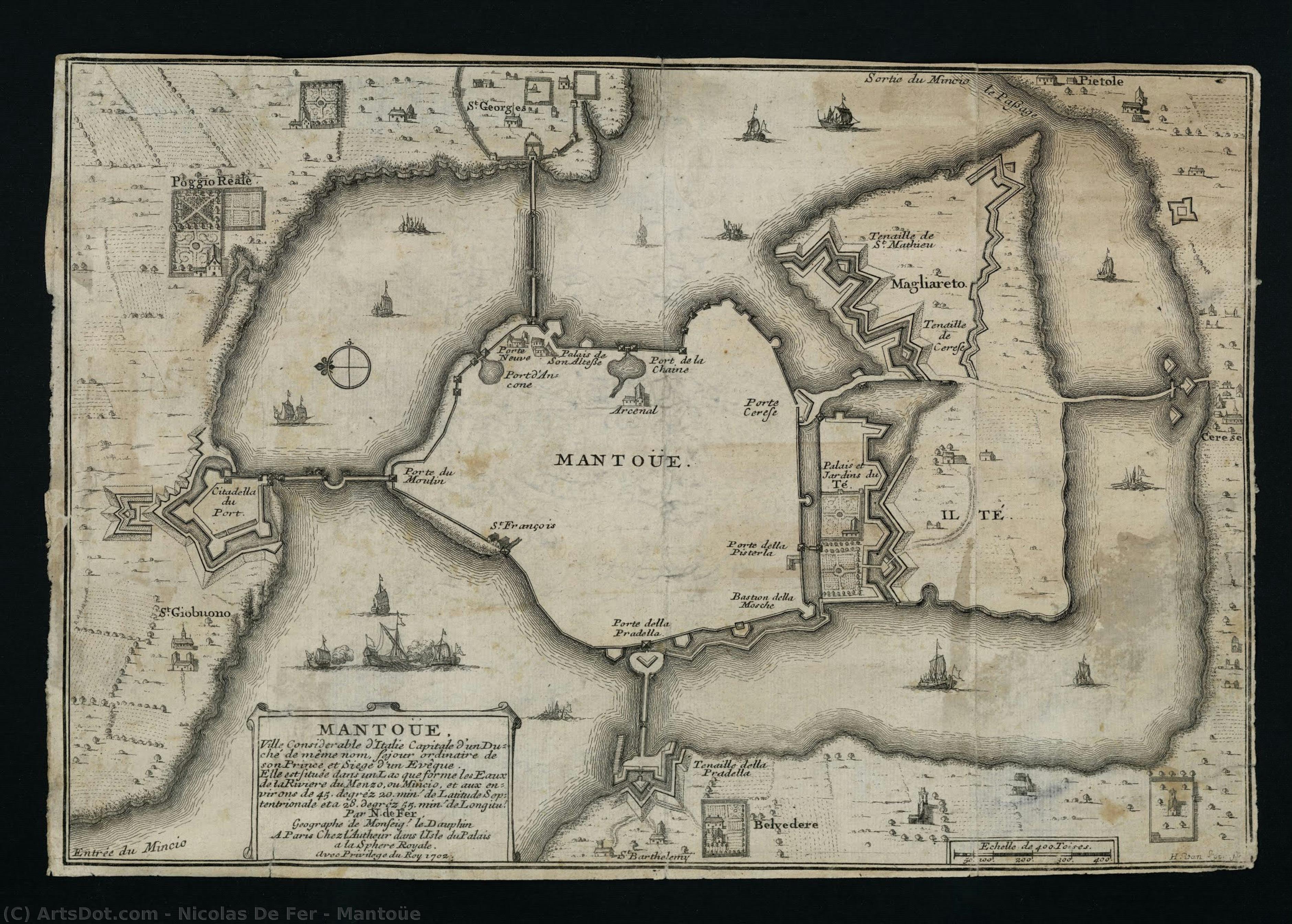
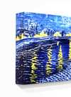
- Mantoüe
 Sdílet
Mantoüe

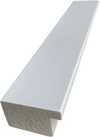
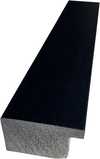
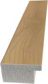
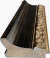
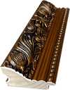
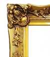
Giclée / Umělecký tisk
Giclée nebo plátěný tisk muzeální kvality s rychlou výrobou a flexibilními možnostmi povrchové úpravy.
Vyberte si z našich přednastavených velikostí, které odpovídají původním proporcím díla.
Můžete zadat vlastní rozměry tak, aby výtvor odpovídal konkrétnímu rámu nebo prostoru. Pokud zvolená velikost nebude odpovídat poměru stran původního obrazu, dílo buď ořížeme, nebo obraz rozšíříme pomocí zrcadlového efektu či jednobarevného okraje. Před zahájením výroby vám bude zaslán digitální náhled k schválení.
Mějte prosím na paměti, že náhled na obrazovce neodráží skutečné oříznutí nebo rozšíření. Pouze digitální náhled přesně zobrazí finální kompozici.
Ačkoliv jsou k dispozici i vlastní rozměry, pro zachování původních proporcí doporučujeme vybrat si rozměr z předdefinovaného seznamu.
Celosvětové doručení () do 2 týdnů namísto standardních 4/5 týdnů. (18 červenec)

Zdarma celosvětová expresní doprava

Vysoce kvalitní lněné plátno

Kompletní přepravní pojištění

Záruka vrácení celního poplatku

Záruka přesného barevného shodu

60denní lhůta pro vrácení zboží (pouze při vadách výroby)

100% garance vrácení peněz

Sleva při hromadné objednávce
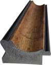
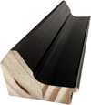
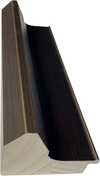
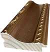
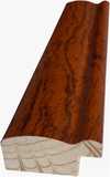
 Skleněná varianta je dostupná pouze u rozměrů menších než 110 cm
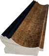

Mantoüe
Giclée / Umělecký tisk
Rozměry reprodukce
-


Celková cena za výběr
-
Popis sběratelského kousku
Biografie umělce
The Cartographic Artistry of Nicolas de Fer
Nicolas de Fer, born in Paris in 1646, emerged from a family already steeped in the world of mapmaking. His father, Antoine de Fer, possessed a thriving cartographic business, and it was within this environment that young Nicolas’s fascination with geography and artistry began to blossom. Apprenticed at the tender age of twelve to the Parisian engraver Louis Spirinx, he honed his technical skills, laying the foundation for a career that would see him become one of France's most prolific mapmakers of the 17th century. However, de Fer’s path wasn’t simply about inheriting a trade; it was about transforming it into something uniquely his own—a blend of artistic flair and commercial ambition.
A Family Legacy and Rise to Prominence
The early years following his father's death in 1673 saw Nicolas assisting his mother, Genevieve de Fer, in managing the family firm. It wasn’t until 1687 that he assumed full control, a turning point that marked a significant shift in the business’s trajectory. While Antoine had focused on maintaining established routes and clientele, Nicolas possessed an entrepreneurial spirit, driving production and expanding the range of available maps. He quickly recognized the growing demand for visually appealing cartography, understanding that maps were not merely tools for navigation but also objects of decorative beauty. This insight would become central to his success.
The Aesthetic Over Accuracy: A Baroque Cartographic Style
De Fer’s work is often characterized by a prioritization of quantity over absolute geographical precision. While he produced hundreds of maps and atlases, they frequently contained errors—a consequence of relying on existing sources rather than conducting original surveys. This wasn't necessarily a flaw in his approach; it reflected the artistic sensibilities of the Baroque period, where ornate detail and aesthetic appeal were highly valued. His maps are lavishly decorated with elaborate cartouches, allegorical figures, and vignettes depicting scenes from around the world. L’Atlas Curieux, one of his most celebrated works, exemplifies this style—a testament to the decorative arts that flourished during his time. The detailed depictions of cities, churches, palaces, and gardens were more about conveying a sense of place and wonder than providing precise navigational information.
Royal Patronage and Lasting Influence
De Fer’s reputation for producing beautiful and commercially successful maps eventually led to royal recognition. He was appointed official geographer to both King Louis XIV of France and King Philip V of Spain, a testament to the prestige his work had attained. This patronage further solidified his position within the cartographic community and allowed him to expand his business even further. After his death in 1720, the firm passed into the capable hands of his sons-in-law, Guillaume Danet and Jacques-Francois Benard, who continued to produce maps under the de Fer name for several decades. His legacy extended beyond his own lifetime, influencing a generation of cartographers and solidifying the role of mapmaking as both a scientific endeavor and an artistic pursuit.
A Lasting Impression on Cartographic History
Nicolas de Fer’s contribution to cartography lies not in groundbreaking discoveries or unparalleled accuracy but in his ability to popularize maps and transform them into desirable objects. He understood the power of visual storytelling, using elaborate decoration and detailed illustrations to captivate audiences and convey a sense of global awareness. While modern scholars may critique the geographical inaccuracies present in his work, it’s important to remember that de Fer operated within a specific historical context—a time when artistic expression was often prioritized over scientific precision. His maps remain valuable today not as navigational tools but as fascinating artifacts of the Baroque period, offering insights into the cultural values and aesthetic sensibilities of 17th-century Europe. His work serves as a reminder that maps are not simply representations of the world; they are also reflections of the societies that create them.

Nicolas de Fer
1646 - 1720 , France
Rychlé fakta
- Artistic Movement Or Style: Baroque
- Artists Or Movements Influenced By This Artist:
- Nicolaus Copernicus
- Giovanni Cassini
- Artists Who Influenced This Artist: ['Louis Spirinx']
- Date Of Birth: France, 1646
- Date Of Death: 1720
- Full Name: Nicolas de Fer
- Nationality: French
- Notable Artworks:
- Mantoüe
- Petit et Nouveau Atlas
- Place Of Birth: France