- Home

- Stampa su tela
- Nicolas de Fer
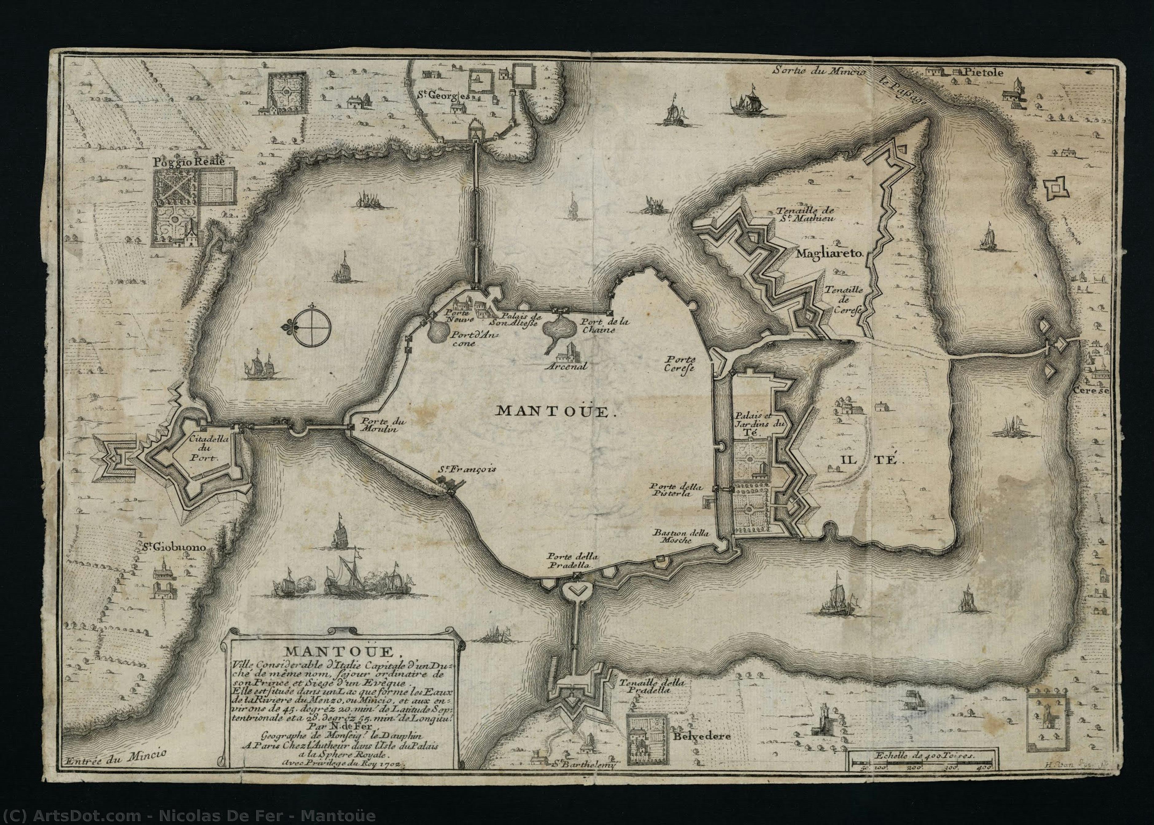
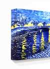
- Mantoüe
 Invia
Invia
Mantoüe

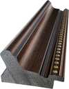
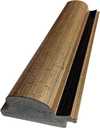
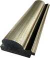
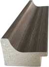
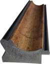
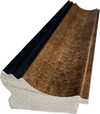
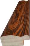
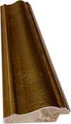
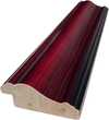
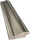
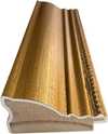
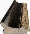
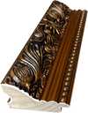
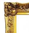
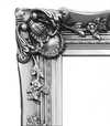
Giclée / Stampa d'arte
Stampa giclée o su tela di qualità museale, con produzione rapida e diverse opzioni di finitura.
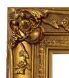
Scegli tra le nostre dimensioni predefinite, che rispettano le proporzioni originali dell'opera d'arte.
È possibile inserire dimensioni personalizzate per adattare l'opera a una cornice o a uno spazio specifico. Se la dimensione selezionata non corrisponde alle proporzioni dell'immagine originale, procederemo al ritaglio dell'opera o all'estensione dell'immagine con un bordo specchiato o a tinta unita. Un mockup digitale ti verrà inviato per approvazione prima dell'inizio della produzione.
Si prega di notare che l'anteprima a schermo non riflette il ritaglio o l'estensione effettivi. Solo il mockup mostrerà accuratamente la composizione finale.
Sebbene siano disponibili dimensioni personalizzate, si raccomanda di selezionare una dimensione dall'elenco predefinito per preservare le proporzioni originali.
Consegna in tutto il mondo () in 2 settimane invece delle normali 4/5 settimane. (18 Luglio)

Spedizione espressa gratuita in tutto il mondo

Tela in lino di alta qualità

Assicurazione completa sulla spedizione

Garanzia di rimborso dei dazi doganali

Garanzia di fedeltà cromatica

Politica di reso entro 60 giorni (solo per difetti)

Garanzia di rimborso al 100%

Sconto per acquisti multipli
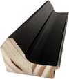
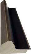
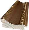
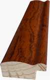
 L'opzione vetro è disponibile solo per dimensioni inferiori a 110 cm

Mantoüe
Giclée / Stampa d'arte
Dimensioni riproduzione
-


Prezzo totale finale
-
Descrizione dell'opera
Biografia dell'artista
Nicolas de Fer: The Artist Behind Quantity Over Accuracy
Nicolas de Fer (1646 – 1720), a French cartographer and engraver, occupies a peculiar place in the annals of early modern art history. Unlike his contemporaries who meticulously documented the world with painstaking precision—think Copernicus charting planetary orbits or Cassini observing Saturn’s rings—Fer prioritized artistic expression over geographical accuracy. His atlases and engravings, though undeniably impressive in their visual splendor, are riddled with errors that reveal a fascinating paradox: they strive for grandeur and beauty while simultaneously betraying a fundamental misunderstanding of the science underpinning them.
- Early Life & Training: Little is known about Fer’s formative years. He emerged onto the artistic scene in Paris during the turbulent reign of Louis XIV, where he honed his skills as an engraver and quickly gained recognition for his ability to transform sketches into stunningly detailed prints.
- The Mantoüe Atlas & Artistic Vision: Fer's magnum opus is arguably the “Petit et Nouveau Atlas,” published in 1687. This ambitious undertaking aimed to surpass existing atlases in both size and artistic merit. It showcased Fer’s distinctive style—characterized by bold lines, vibrant colors, and a penchant for embellishment—reflecting the Baroque aesthetic's fascination with dramatic visual effects.
- Geographic Errors & Artistic License: Despite his ambition, Fer consistently disregarded scientific principles in favor of artistic interpretation. His maps frequently misrepresented coastlines, mountain ranges, and river courses, prioritizing visual appeal over factual correctness. These inaccuracies weren’t mere oversight; they were deliberate choices that underscored the prevailing belief that art should inspire awe and wonder, even if it sacrificed truth.
- Influence & Legacy: Fer's work stands apart from other cartographers of his time due to its focus on artistic impression rather than scientific rigor. He exemplifies the broader cultural shift toward valuing beauty and imagination over empirical observation—a trend that would characterize much of the Enlightenment. Although his atlases are now viewed as curiosities rather than reliable navigational tools, they remain valuable artifacts for understanding the intellectual climate of 17th-century France.
- Notable Collaborations: Fer collaborated with Jean-François de Galaup, Comte de Lapérouse, on expeditions to explore the Pacific Ocean. His engravings accompanied Lapérouse’s voyages, documenting scientific observations alongside artistic renderings of exotic landscapes and marine life—a testament to the convergence of art and science during this era.

Nicolas de Fer
1646 - 1720 , Francia
Dati rapidi
- Artistic Movement Or Style: Barocco
- Artists Or Movements Influenced By This Artist: ['Nicolaus Copernicus']
- Artists Who Influenced This Artist: ['Louis Spirinx']
- Date Of Birth: France, 1646
- Date Of Death: 1720
- Full Name: Nicolas de Fer
- Nationality: French
- Notable Artworks: ['Mantoüe']
- Place Of Birth: France